GPS Map Camera - Geo Camera: A Handy Tool for Collecting Location Data
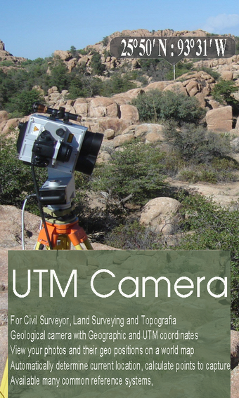
GPS Map Camera - Geo Camera is a useful application for collecting location data while taking photographs. The app is designed for Civil Surveyors, Land Surveyors, Civil Engineers, Environmental Engineers, Transportation/Traffic Engineers, and GIS Engineers. It allows you to take a photo of an object and add UTM coordinates or geographical location to it. The app can automatically determine your current position and calculate the coordinates of the object on the picture.
One of the key features of GPS Map Camera - Geo Camera is the ability to view your photos and their geo-positions on a world map. You can also manage images with information such as location, address, orientation, compass, and magnetic fields. The app supports many common coordinate systems, and you can even add your private coordinate systems.
The premium version of the app comes with no ads and unlimited projects. Overall, GPS Map Camera - Geo Camera is a handy tool for collecting location data while taking photographs and is a must-have for professionals in the fields of surveying and engineering.


